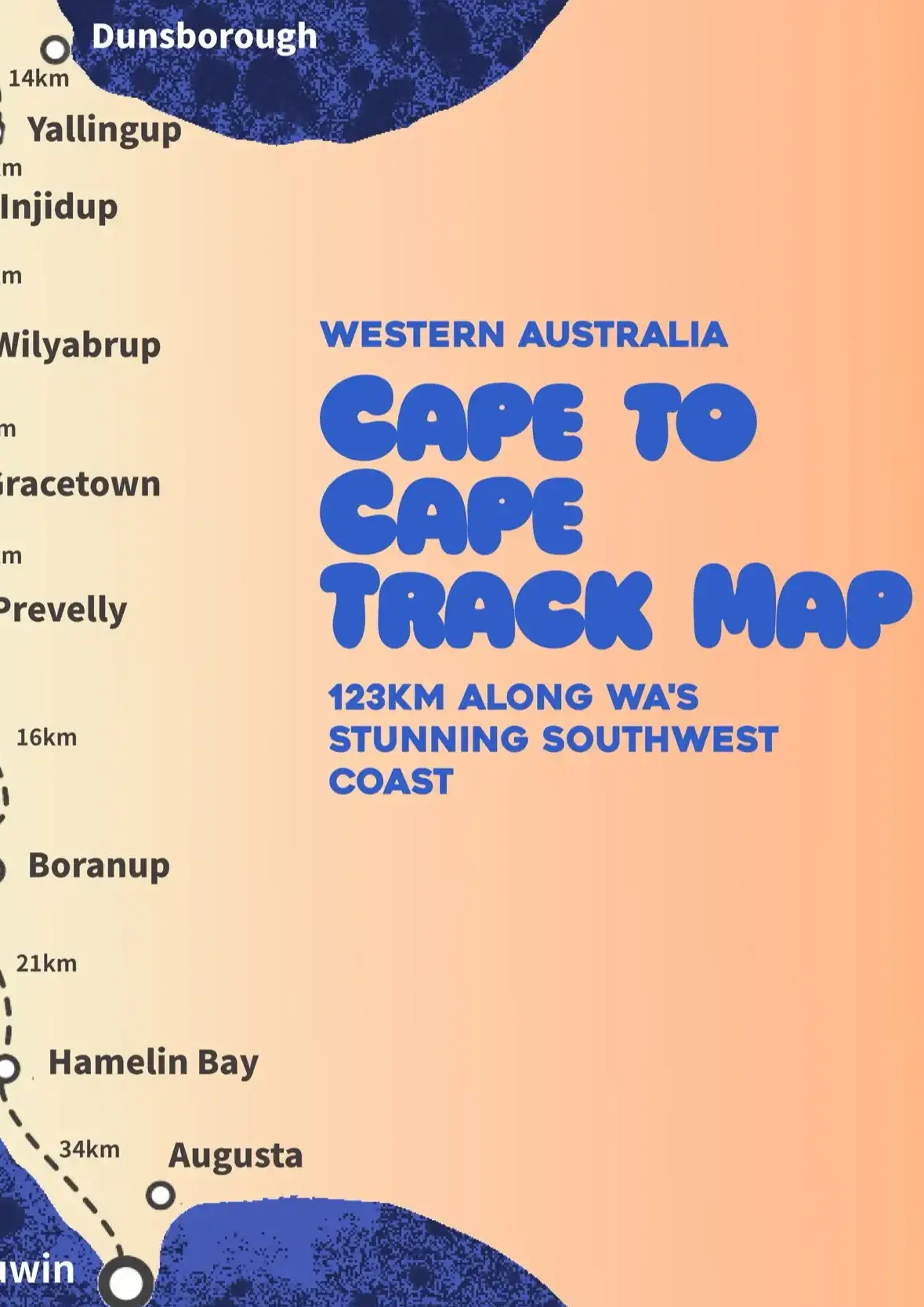
Cape to Cape Track map
Free Cape to Cape Track Map (PDF) — Plan your epic southwest hike!
Download your complete map of the southwest’s Cape to Cape Track, covering every major stop and natural wonder along Western Australia’s iconic trail.
If you’re planning to hike the stunning Cape to Cape Track, you’ll want a reliable and easy-to-follow map in your pack.
We’ve created a FREE Cape to Cape Track Map (PDF) to help you navigate every beach, cliff, forest, and charming coastal town along the way—from Cape Naturaliste to Cape Leeuwin (or vice versa).
This simple, beautiful map covers all the key locations with distances between each stop, whether you’re hiking the full 123km or just tackling a few unforgettable sections.

Before taking on the southwest’s best hike, get your FREE Cape to Cape Track map!
where to stop on the cape
Highlights Along the Cape to Cape Track
Cape Naturaliste:
The northern starting (or finishing) point of the Cape to Cape Track. Begin your journey with sweeping views over Geographe Bay and a visit to the Cape Naturaliste Lighthouse.
Injidup:
Famous for its natural spa-like rock pools, Injidup offers a refreshing swim, scenic beaches and nearby camping spots to rest after a hot day on the trail.
Wilyabrup:
Adventure awaits at Wilyabrup Cliffs — a towering limestone cliff line popular for rock climbing and abseiling. Even if you’re just hiking, the views are unforgettable.
Gracetown:
A friendly coastal town known for its world-class surf breaks and quaint general store where hikers can refuel before tackling the next section.
Prevelly:
Home to the famed White Elephant Cafe and Surfer’s Point, Prevelly is a great halfway rest stop. Grab a coffee, watch surfers carve up the waves at the home of the World Surfing League’s WA stop, and relax.
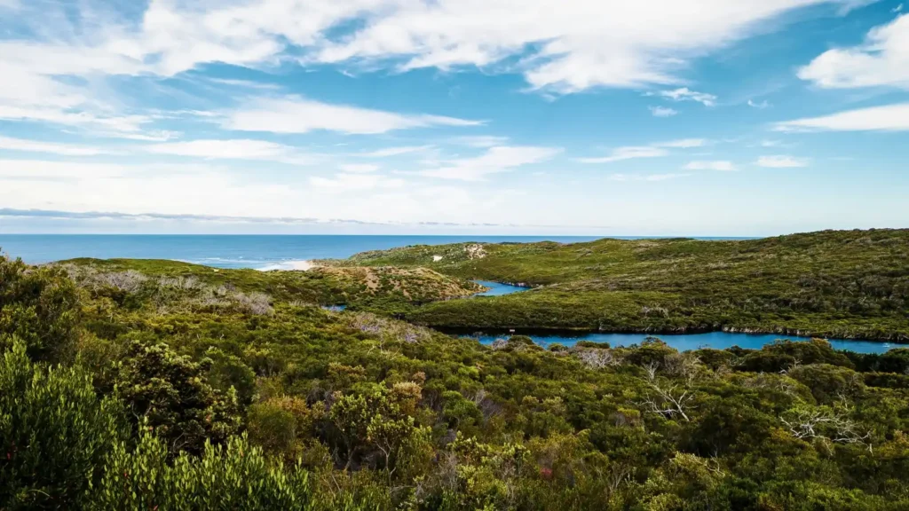
Boranup:
Wander through the ancient Boranup Karri Forest, explore limestone caves and discover secluded, dramatic beaches. A truly magical part of the track.
Hamelin Bay:
Swim alongside the friendly stingrays at Hamelin Bay’s clear beaches. It’s a popular camping area and one of the most iconic stops along the Cape to Cape.
Cape Leeuwin:
The southern end of the track, where the Indian and Southern Oceans meet. Visit the historic Cape Leeuwin Lighthouse and celebrate the end of your adventure (or get supercharged for the start of it!).
Cape to Cape Track
Best time of year to hike the Cape to Cape Track
Choosing the right time to tackle the Cape to Cape can make all the difference!
Learn when the wildflowers bloom, when the weather is most stable and how to avoid (or survive) the hottest months.
Read our guide to the best time to hike the Cape to Cape here
Cape to Cape Track map
Ready to plan your Cape to Cape adventure?
Download your free map of the Cape to Cape before you hit the trail head!
No signup required — just pure trail inspiration.